Demographics
Demographics Map

Map Key
Eastern Navajo Agency
Western Agency
Fort Defiance Agency
Northern Navajo Agency
Central Navajo Agency
The Navajo Division of Health and the Navajo Epidemiology partnered to help prepare the 2010 U.S. Census of the Navajo Population. This project was funded by the U.S. Department of Health and Human Services, Indian Health Services, and the Navajo Department of Behavioral Health Services.
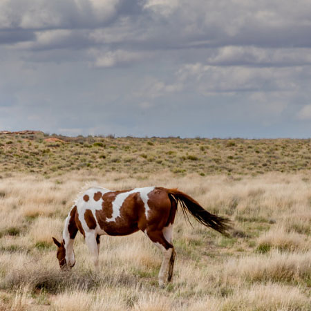
As of 2010, the Navajo Nation currently covers 27,425 square miles of land that runs through four states, which are New Mexico, Arizona, Utah, and Colorado.This is the largest geographic land base reservation in the United States. The 2010 U.S. Census contains population data on the five Navajo Nation’s political and geographical agencies which are listed and shown in a graph below. Each of the five agencies are divided into chapters for a total of 110 chapters on Navajo land. Tooh Haltsooi is a part of the Northern Navajo Agency.
SHEEP SPRINGS DEMOGRAPHICS
2010 U.S. Census
Navajo alone population 749
Navajo in combination population 766
All race population 801
According to the 2010 U.S. Census, the Navajo Nation claims over 300,000 enrolled tribal members.The breakdown of the summary files is documented in three enumeration groups, listed below.
- “Navajo tribal grouping alone” (Navajo alone)
- “Navajo tribal grouping alone or in combination with another race or tribe” (Navajo in combination)
- “All race population includes all races” (All race)
The Navajo alone consists of individuals who claim their race to be only Navajo.
The Navajo in combination consists of individuals who claim their race to be Navajo only or individuals who claim to be Navajo in combination with another race or tribe. The formula below has been developed to help others understand this concept.
Navajo in combination = Navajo alone + Navajo mixed with other race